We are Orion Technology, we develop unique UAV solutions with high scalability &full Autonomy.
Our solutions are centered around accessibility, adaptability, stability and scalability to differentiate yourself among other competitors in your business.
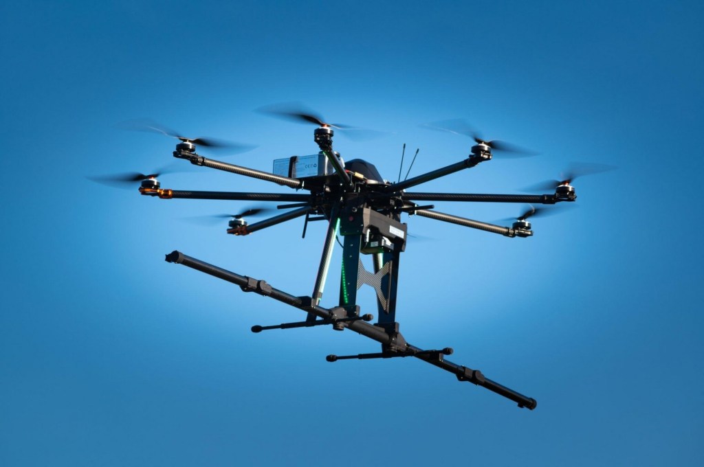
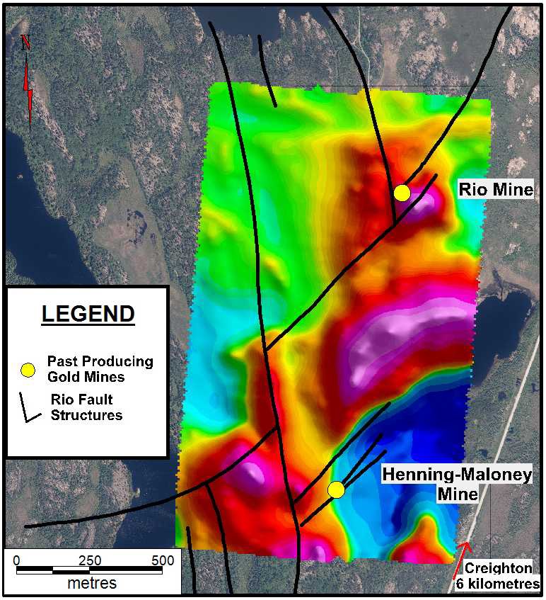
Geophysical UAV Mission
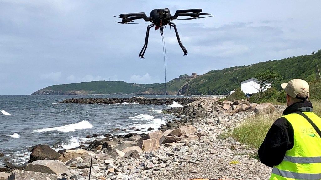
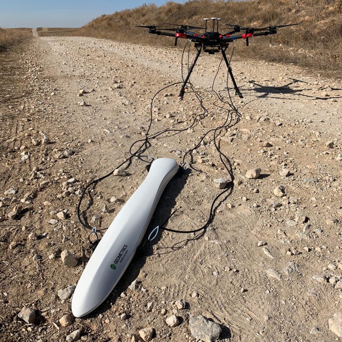
Magnetometer mounted drones
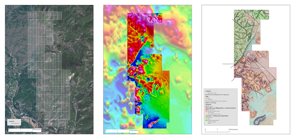
In areas where it is difficult to navigate on foot, drones can produce high-resolution orthophotos and DSM maps to support mining exploration efforts. A drone survey is a fraction of the cost of traditional manned aviation surveys. In comparison to ground survey equipment, it takes a team of land surveyors weeks to obtain the same amount of data that a drone can gather in a few hours.
There are pros and cons to every exploration method. In traditional ground-based surveying, teams map and collect soil and rock samples, but their activities are more intrusive, their maps are low-density and they move relatively slowly (10-30 km per day on average). A fixed-wing plane or satellite can produce photogrammetric data much faster, but its accuracy drops to 10-30 metres (for satellites) and the output is of limited use to exploration engineers. With drones, you can maintain a high level of accuracy, scan density, and multispectral imaging while also avoiding much intrusion into the environment or society. In more challenging, inhospitable, or inaccessible environments, productivity rises dramatically.
Geophysical and magnetic surveys have always been difficult. It usually involves heavy, expensive equipment and inaccessible terrain. In the past, the only options were walking with a ground-based magnetometer (slow) or flying a demagnetised helicopter (expensive).
In the last 5 years, drones and airborne magnetometers have changed the game completely. With a magnetometer-mounted drone, a traditional magnetic survey can be conducted five times faster and ten times cheaper than before. A drone (UAV) can fly closer to the surface than a helicopter, resulting in higher-resolution data collection. As a result, the survey is faster and more affordable. You learn more about Magnetic Surveying using Drones (UAVs) here.
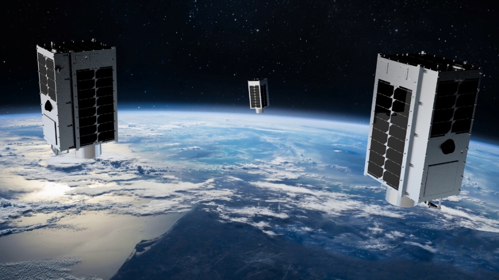
5G over MicroSattelite
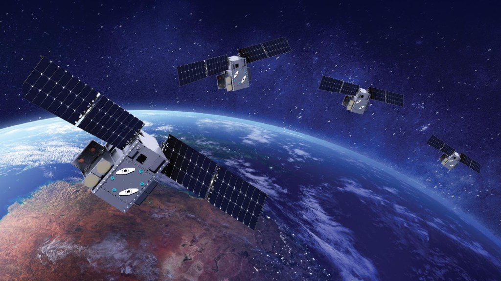
Ultra Low latency Connectivity with 5G
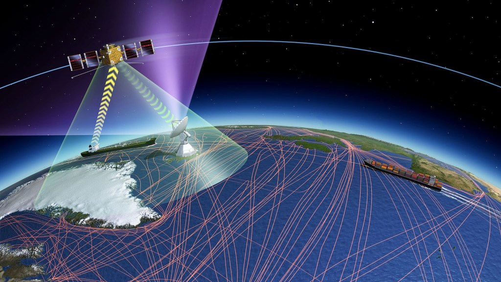
UAV will connect through cube says for 5G coverage but why do we need it ? . In a 5G interconnected world, smart cities will utilize ultrafast speeds and low latency to connect everything in it. This requires small 5G towers placed in high traffic areas that demand a lot of bandwidth and have a direct line of sight for optimal speed and performance.
LEO Satellites will play a key part in extending cellular 5G networks to air, sea and other remote areas not covered by small cell networks. For the end-user, satellites offer a seamless extension of 5G services from the city to airplanes, cruise liners and other vehicles in remote locations. IoT sensors and M2M connections on farms and remote worksites like mines can also capitalize on the wide coverage areas offered by 5G satellites.
Integrating satellites with 5G infrastructure improves the Quality of Experience (QoE) of high capacity applications. By intelligently routing and offloading traffic, satellites save valuable spectrum and improve the resilience of each network.
In the event of a natural or man-made disaster where 5G infrastructure is damaged, satellite networks can take over and keep the network alive. While they will not be able to provide a full set of services, they can still retain critical and life-saving communication services during disasters.